Army Futures Command
1 August 2019 – 31 July 2024
Total award $65,000,000
Coordinated teams of Ground Vehicles (GV), air vehicles (AV) and human operators conducting platoon maneuvers in a Multi-Operational Domain contested environment will need to possess coordinated capabilities and resilience beyond current state-of-the art systems, many of which were designed for the similar but not equivalent off-road/on-road terrain missions of emergency response and disaster relief. A critical enabler for such movement is the availability of situational awareness (SA) information that includes localization information on the platoon vehicles as well as the localization and characterization of dynamic and static objects in a neighborhood of the platoon. A wide body of research has been ongoing in both localization that is based on fusion of multiple sensors, as well as situational awareness that enhances the localization by building semantic object maps.
The SA information is often generated using GPS as a key source of information. However, in unexplored off-road/on-road environments, GPS availability may be compromised for a variety of reasons. In such cases, the quality and range of SA gets further reduced. Further, in such challenging environments, the fielded system will be operating independent of the Cloud, there will no WIFI routers or cell towers, and much if not all computations will be onboard the vehicles. Human operators will need to Command, Control, and Communicate (C3) with any platform in the system directly and when desired.
A particular concept that is being researched at Texas A&M is the concept of Infrastructure Enabled Autonomy (IEA). IEA uses sensors that are placed outside of the vehicles, co-located with compute capabilities to process the sensor information and abstract the SA information, and finally send this information wirelessly to the vehicle leading to enhanced SA at the vehicle. Such an IEA concept can facilitate both the basic localization as well as higher level semantic information for generating SA information that can be used for complex maneuvers. This project will extend the concept to off-road/on-road terrain, creating an “on-demand” IEA through the use of supporting aerial vehicles (AVs) that will carry smart sensors and wireless communication capabilities. It is expected to produce significantly accelerated movement of vehicle platoons in unexplored off-road/on-road terrains, while collecting rich SA along the way.

The technical objectives of this work are to:
- Investigate how the SA information should be structured so as to enable efficient communication from the Air Vehicles (AVs) to the Ground Vehicles (GVs), while retaining sufficient richness to enable rapid, safe and autonomous motion of GVs.
- Investigate path planning of the AVs to coordinate with the path planning of the GVs to ensure minimal communications, and satisfaction of movement constraints (such as avoidance of hazardous areas)?
- Develop AV control laws to support desired orientation of the sensors to support the need flight paths. In particular, what levels of coordination between AVs are required to create coordinated sensory information?
- Investigate how the autonomy stack and vehicle controls should be architected so as to work seamlessly between using the SA coming from the AVs, and being fully autonomous, while progressing towards the platoon motion.
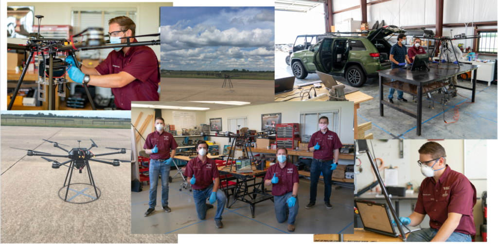
A technology demonstrator platform consisting of a fleet of GVs and AVs will be built, that will perform a movement to contact (MTC) mission. The mission performance metrics shall be jointly developed with between TAMU, Army Research Laboratory (ARL), and Ground Vehicle Systems Center (GVSC). Testing and Evaluation shall be performed as part of the Innovations Proving Ground every year to capture the above mission performance metrics, with a targeted improvement of 25% every year.
Working with me on this project are:
Graduate Students:
-Garrett Jares, Ph.D AERO
-Morgan Wood, M.S. AERO
